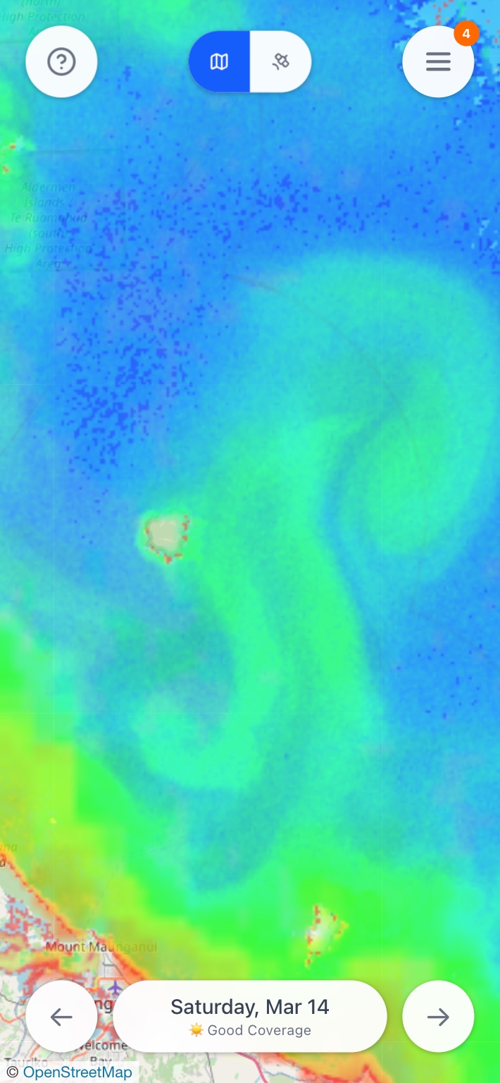
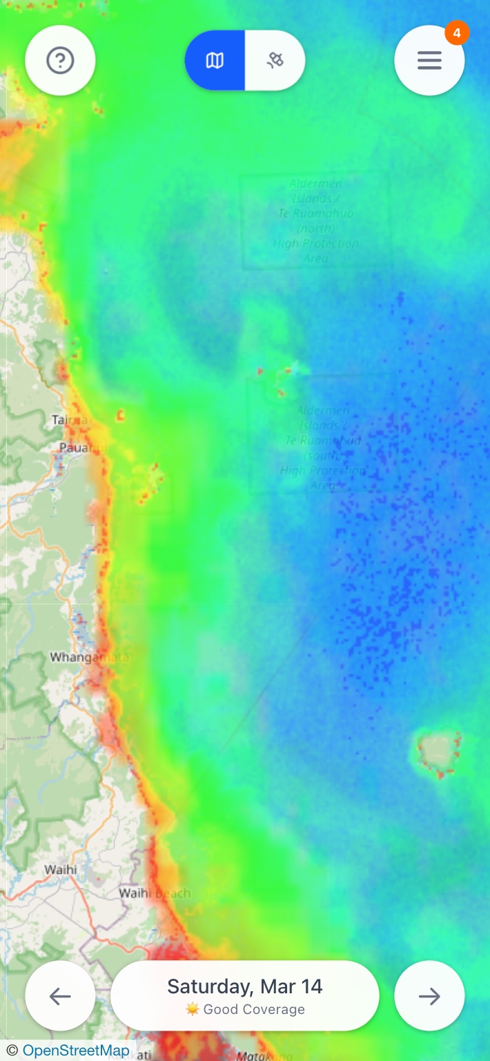
Daily Updates
Know the visibility before you dive.
Check underwater visibility at your favorite spots, updated daily from satellite data. No more wasting fuel on murky water.
Try VizCheck
$9.99/month after trial ends
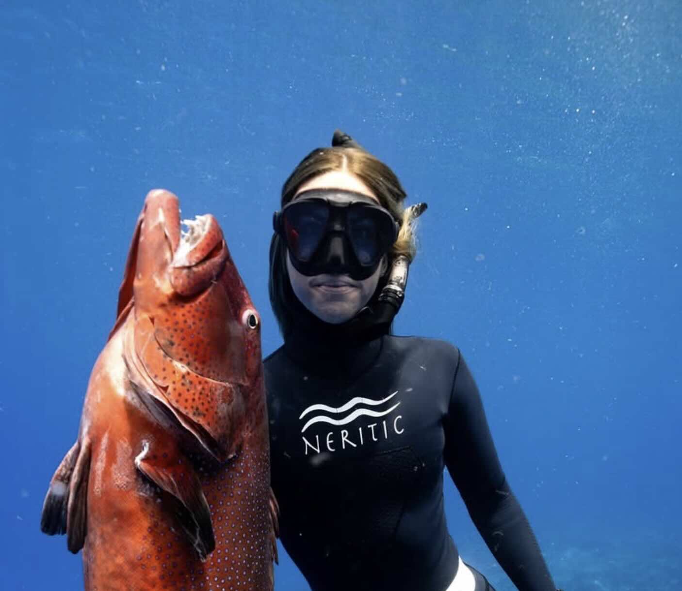
Right Now
Blue Water
Visibility
35m+
Yesterday
Today
Tomorrow